
Environmental consultancies
Build a stronger desk study.
Bring site context, historical change and report-ready maps into baseline reviews and environmental assessments. Focus expert time on interpretation and survey priorities.
VerdeSat Pilot Partnerships
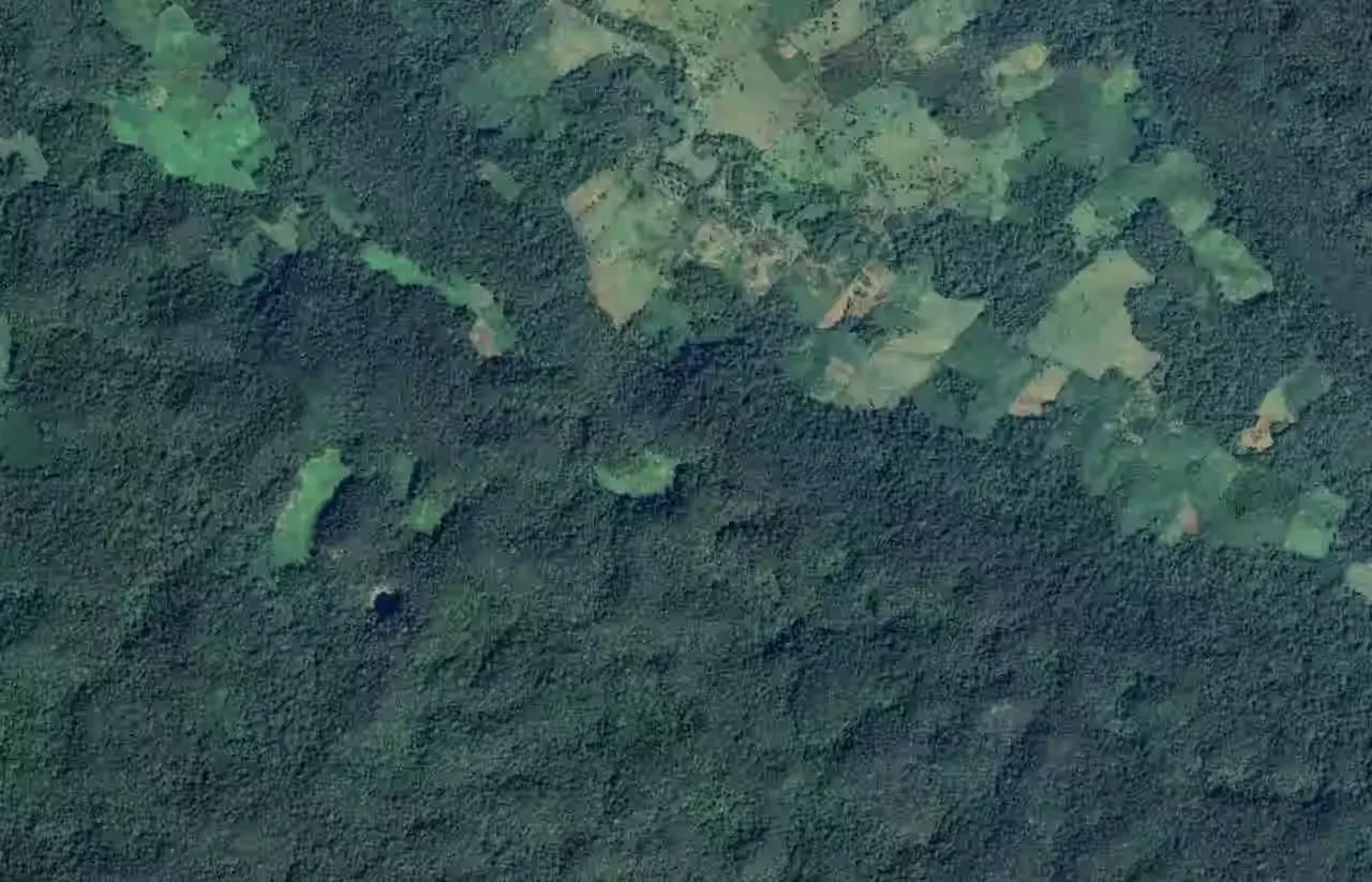
Your site boundaries. Transparent satellite-based evidence. Get a screening-grade Evidence Pack to support site screening, baseline reviews, environmental assessments and monitoring workflows.
Explore a sample Evidence PackA focused collaboration around your real site and workflow.
Who it's for
Build a stronger desk study.
Bring site context, historical change and report-ready maps into baseline reviews and environmental assessments. Focus expert time on interpretation and survey priorities.
Establish a baseline. Follow change.
Review land-cover history and vegetation trajectories across restoration, reforestation and nature-based projects. Use the evidence to guide monitoring and field follow-up.
Know which sites need a closer look.
Give sustainability and operational teams a traceable starting point for site prioritisation, land-management reviews and disclosure preparation.
What you get
A practical Evidence Pack you can inspect, interpret and use. We agree the outputs and data coverage for your pilot before work begins.
Location, area, climate, ecoregion and biome context, with Natura 2000 context for sites in the EU27.
Understand mapped land-cover classes, their proportions and how they have changed over time.
Explore Sentinel-2 NDVI and MSAVI signals, seasonal patterns and annual satellite composites.
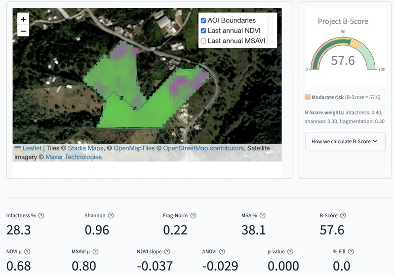
Review natural land cover, heterogeneity and fragmentation, with the provisional B-Score and its components explained.
Bring clear maps, visualisations and machine-readable outputs into your assessment and reporting workflow.
Trace each finding to its data and methods, with coverage and evidence gaps made explicit.
Screening-grade evidence supports expert judgement and targeted fieldwork. Explore our science and methods →
How it works
Tell us about your project and the decision the evidence needs to support.
Define the outputs, data coverage, timeline and commercial terms together.
Get the agreed site analysis, maps and supporting evidence.
Discuss the findings, workflow fit and opportunities for further collaboration.
Let's work on your site
Have a site, a client brief or a monitoring challenge? Tell us what you need. We'll explore the fit and shape a pilot around a clear, useful outcome.
Book a pilot callChoose a time on Calendly. Opens in a new tab.
Prefer to send the details first? Apply here and we'll follow up. Scope, timeline and pricing are agreed together.