
Sentinel-2 imagery
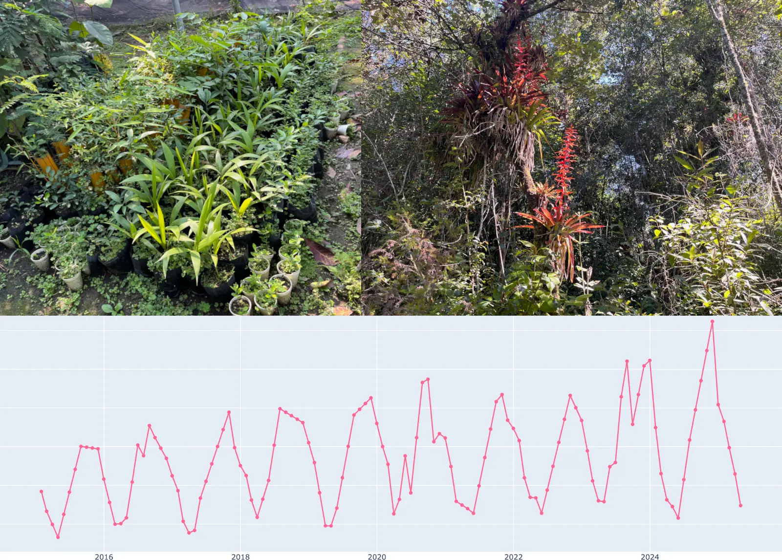
Optical satellite observations used to derive vegetation condition and multi-year dynamics for the uploaded boundary.
VerdeSat combines satellite-derived vegetation dynamics with land-cover structure and contextual geospatial information to produce screening-grade evidence for a specific land area.
Optical satellite observations used to derive vegetation condition and multi-year dynamics for the uploaded boundary.
High-resolution land-cover data used to describe habitat composition, landscape structure and fragmentation.
Country and administrative context, Köppen–Geiger climate and RESOLVE ecoregion/biome data, plus source-scoped contextual layers where coverage and licensing permit.
The B-Score is a proprietary 0–100 screening score that summarises selected indicators of habitat structure, landscape condition and vegetation dynamics into one comparable value.
It is a screening score for a specific land area. It is not a measure of total biodiversity, a species count, or a substitute for ecological assessment. Indicator definitions and inputs are disclosed in every report; scoring calibration remains proprietary.
VerdeSat produces screening-grade decision support. It does not replace field ecology, species surveys, legally required assessments or expert regulatory sign-off.
Optical satellite data has inherent constraints, including cloud cover, revisit frequency and spatial resolution. Results describe observable landscape and vegetation signals rather than the full ecological state of a place.
The purpose is not to claim perfect knowledge of a site, but to identify where attention, monitoring, budget or deeper investigation may be needed.